Washington, DC-area engineering hub, serving agencies nationwide (703) 375-9990 info@itsroads.com ITSR family: ITSR AI and PYLON DC
Smart cities, smart infrastructure, emerging technologies

Smart infrastructure and sensors, integrated with the roads you already run

Intelligent transportation systems are becoming the nervous system of the smart city: sensors at every intersection, roadside units talking to vehicles, cabinets that report their own health, data flowing to digital twins and traffic management centers. ITS Roads is the vendor-neutral engineering and integration partner that makes those technologies work together on real roads, with the legacy systems agencies already own.

Video: K on Pexels
300,000+signalized intersections in the United States, most with decades-old detection[1]
1 in 4traffic fatalities and half of injuries happen at intersections[2]
39,345lives lost on U.S. roads in 2024, the first year under 40,000 since 2020[3]
$269 Bannual cost of congestion, 63 hours lost per commuter[4]
ITS is the foundation

Smart cities run on intelligent transportation systems

The smart-city conversation is about data, and in transportation the data comes from the roadside: detectors, cameras, signals, signs, weather stations, roadside units and the networks between them. Agencies have invested in ITS for three decades. The next step is to connect those assets, add new sensing where it changes outcomes, and manage the whole estate as one system. That is systems engineering, and it is what ITS Roads does.

System design

Concept of operations, requirements and architecture mapped to the regional ITS architecture and ARC-IT[8], following the FHWA systems engineering process required on federally funded ITS projects[7], scaled to the size of the job.

Integration and deployment

Sensor, roadside unit, camera and platform selection on merit; cabinet, power and communications design; bench build and burn-in in our lab; installation with licensed crews; acceptance testing in the agency's format.

Operation and monitoring

Every device under live monitoring from day one, with dashboards, alerting and monthly reports, so the smart infrastructure stays smart after the ribbon is cut.

Anatomy of a smart corridor

Five layers, one accountable integrator

Hover a layer to see where ITS Roads works. The answer is every one of them.

Layer 1Travelers and vehicles

Drivers, transit, freight, cyclists and pedestrians; connected and automated vehicles with onboard units and apps receiving signal phase, hazard and work-zone messages.

Onboard unitsBSMApps and 511Cooperative automation

ITS Roads: vehicle instrumentation, OBU fleets, message validation

Layer 2Field sensing and control

Signal controllers, LiDAR, radar and edge-AI cameras, detectors, weather stations, dynamic message signs, roadside units, toll gantries, smart lighting, structural sensors.

NTCIP 1202 / 1203 / 1204 / 1218SAE J2735Edge AILoRaWAN

ITS Roads: sensor selection and testing, cabinets, poles, power, solar

Layer 3Communications

Fiber rings and hubs, cellular and 5G, private LTE on CBRS, microwave, 5.9 GHz C-V2X, GNSS timing, secure segmentation and remote access.

Fiber5G / LTECBRSC-V2XVPN and zero trust

ITS Roads: network architecture, backhaul, RF surveys, FCC licensing

Layer 4Center systems and data

Traffic management and signal systems, connected-vehicle data pipelines, toll back offices, monitoring platforms, data lakes, digital twins and AI decision support.

ATMSATSPMDigital twinWZDxMonitoring and SLAs

ITS Roads: integration, interfaces, monitoring, dashboards and reports

Layer 5Decisions and outcomes

Operators, maintenance crews, planners, policymakers and the public: safer intersections, fewer secondary crashes, faster incident clearance, data for the next investment.

TSMOVision ZeroPerformance measuresFunding narratives

ITS Roads: evaluation plans, performance reporting, grant-ready concepts

Emerging technologies we integrate

What is changing at the roadside, and how we put it to work

Each technology below is in deployment somewhere in the United States today. We follow the programs, test the products, and integrate them with the signals, cabinets and networks agencies already own.

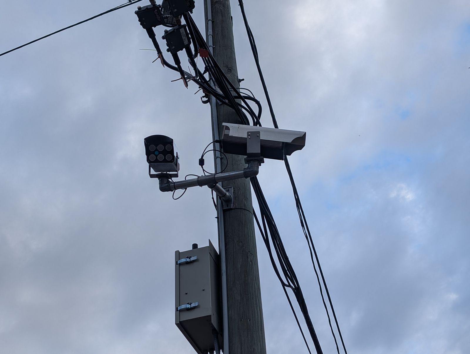
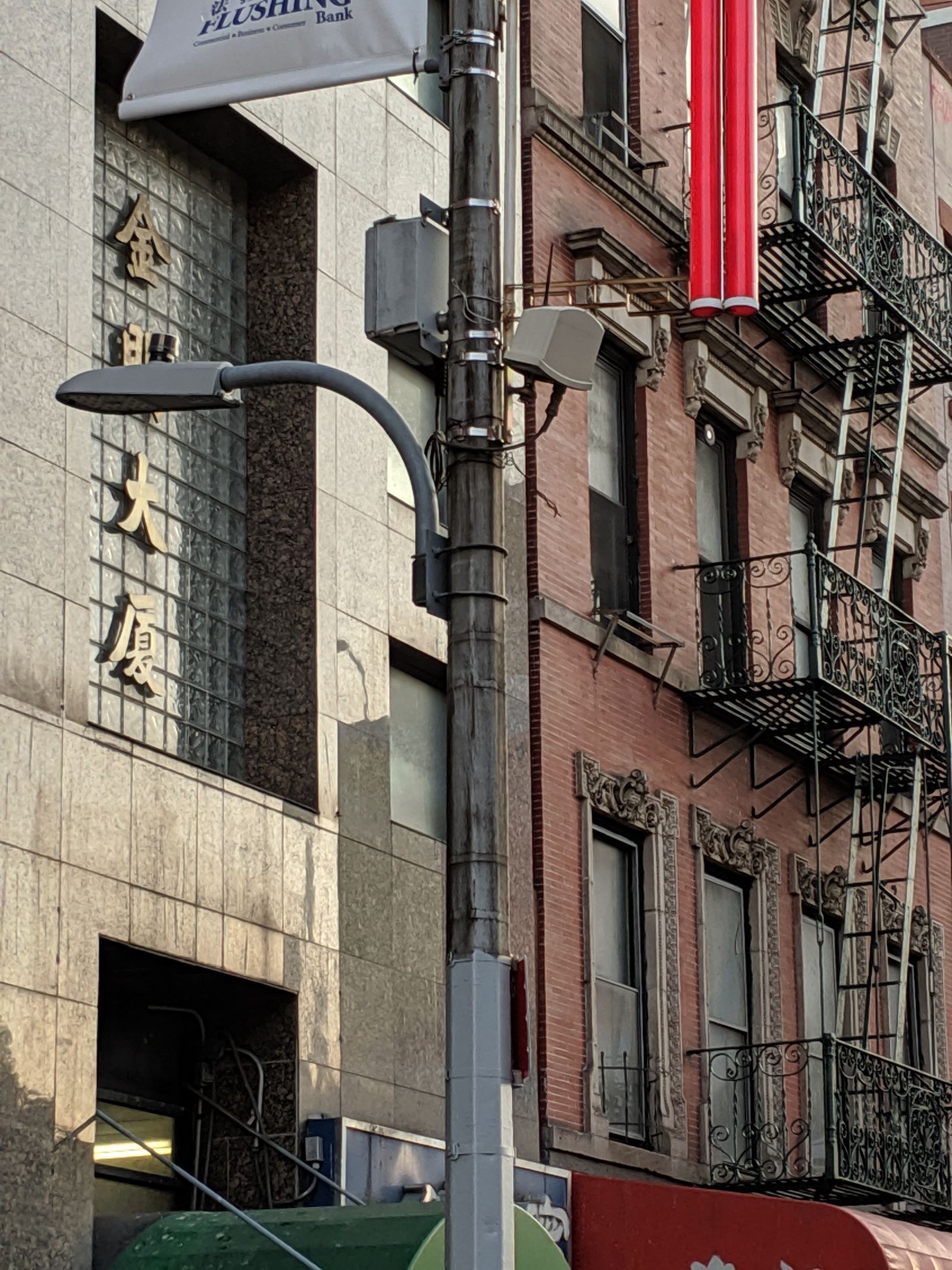
Microwave radar traffic sensor and electronics on a city light pole

Intersection sensing: LiDAR, radar and edge AI

Roadside LiDAR and radar fused with cameras detect every road user, predict conflicts and trigger warnings. USDOT's Intersection Safety Challenge is prototyping exactly this[6]. We handle sensor placement, power, compute, backhaul and integration with the signal controller.
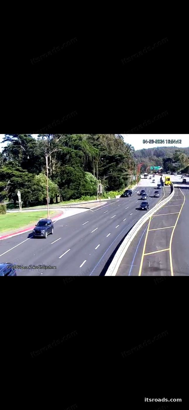
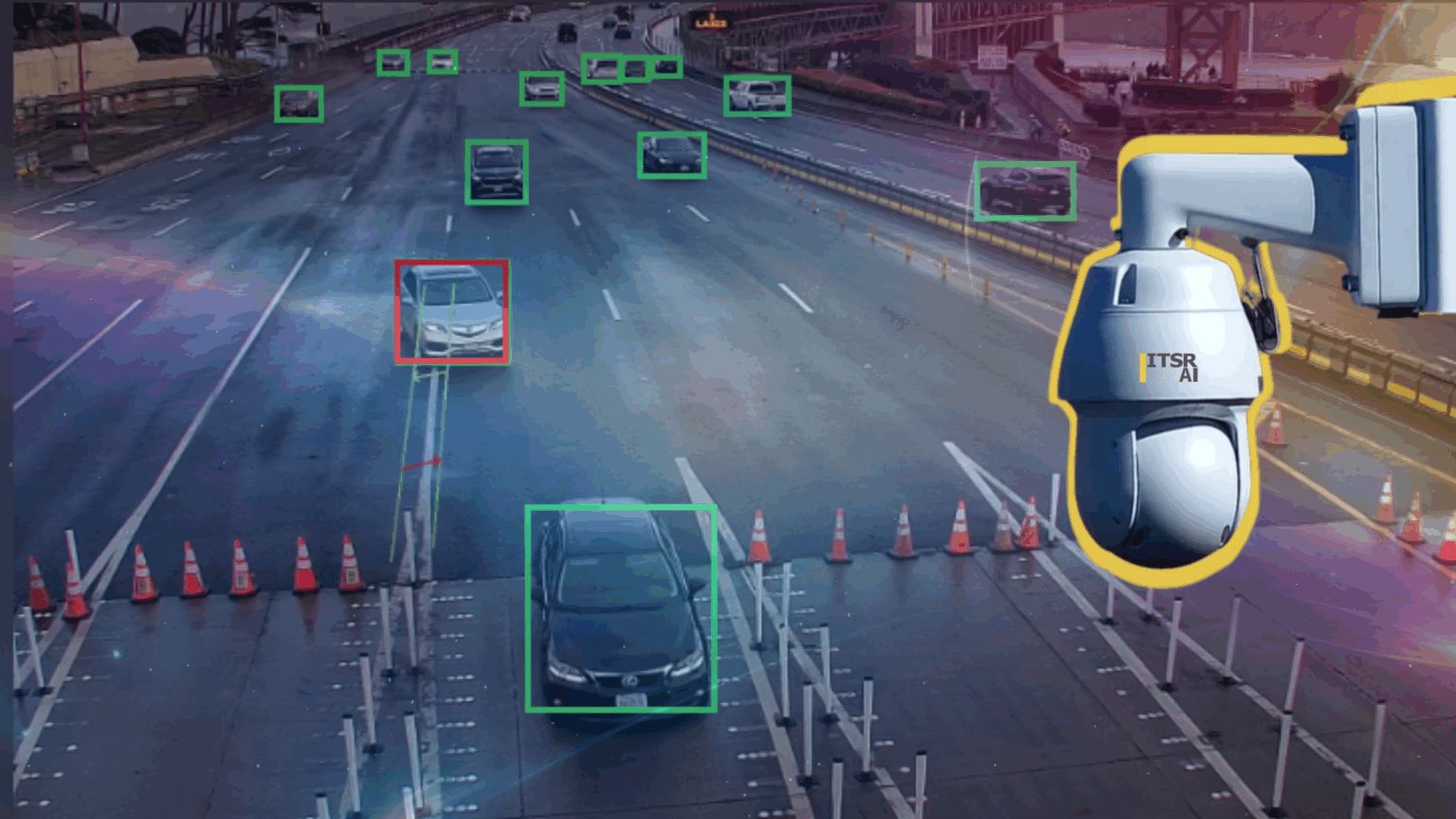
Traffic camera view with vehicle detection overlays

Edge AI video analytics

Compute in the cabinet or on the pole turns existing camera feeds into counts, classifications, near-miss and wrong-way detection in real time, without hauling video to the center. See real-time traffic data.

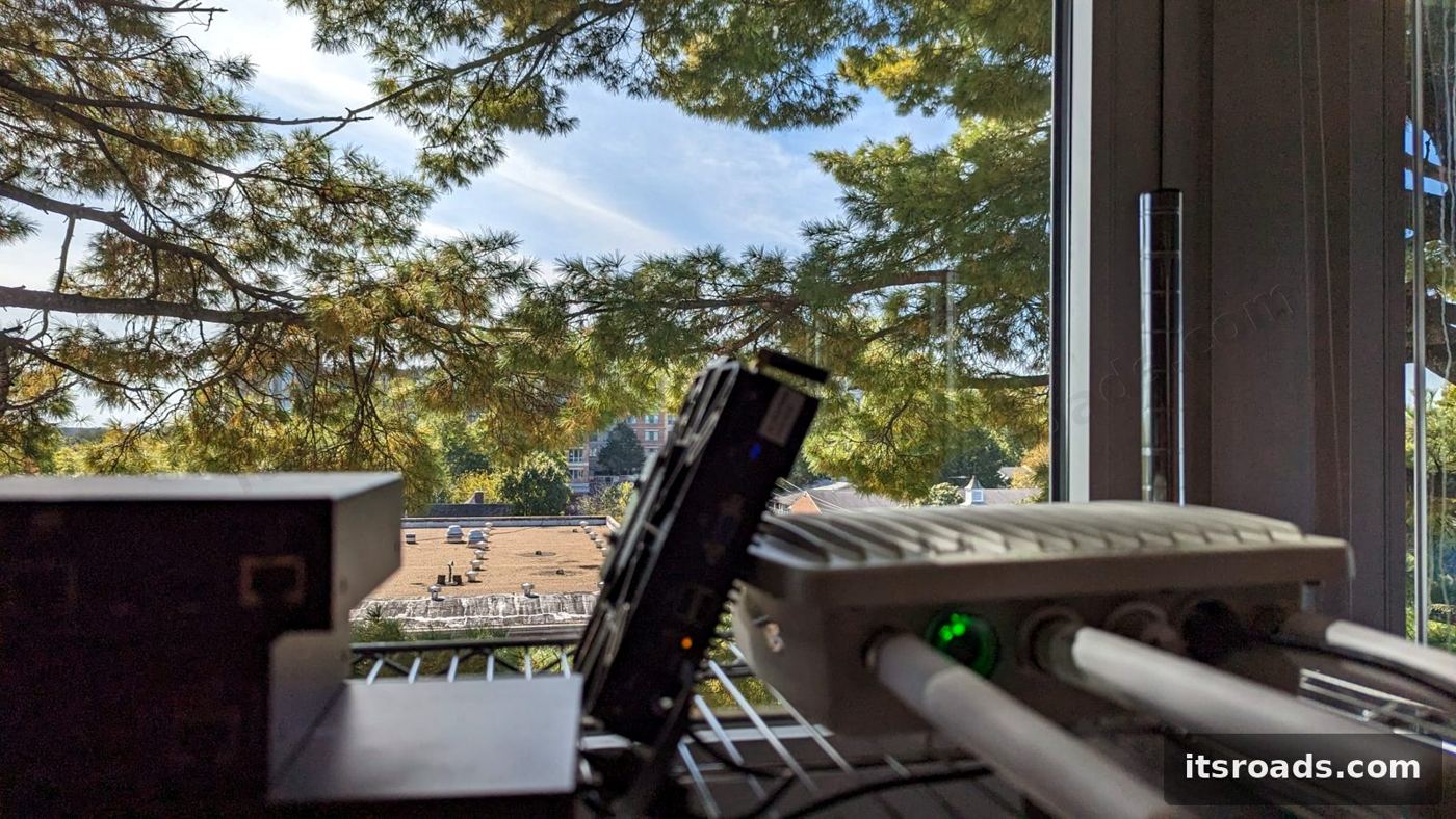
Roadside units on the ITS Roads test bench

Connected vehicles and the national V2X plan

USDOT's plan targets V2X on 20 percent of the National Highway System and a quarter of signalized intersections in the top 75 metros by 2028, and half of both by 2031[5]. We test, deploy, manage and monitor the roadside units and decode what they broadcast. See connected vehicles.

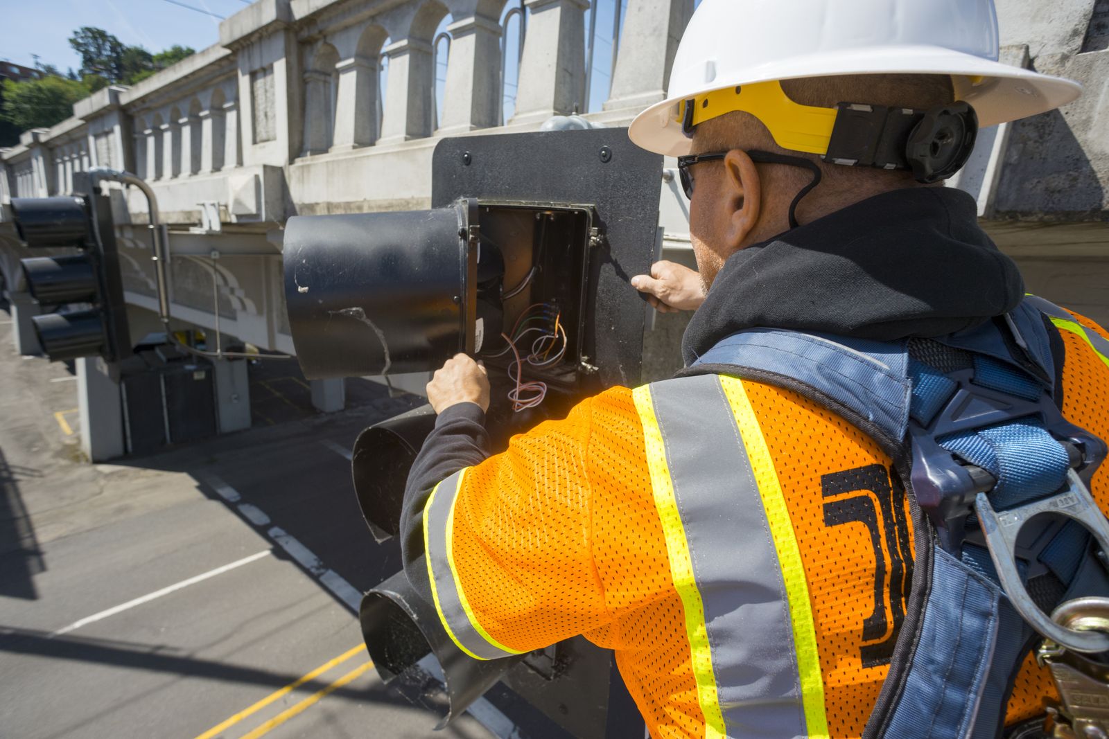
Technician working inside a roadside traffic signal controller cabinet

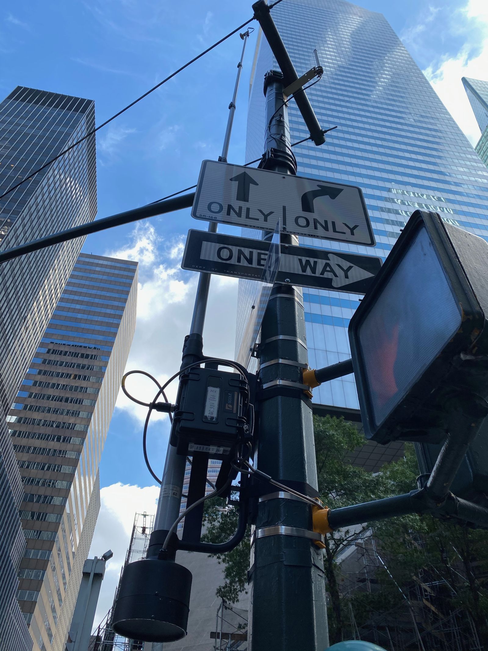
Smart poles and smart cabinets

Poles that carry lighting, small cells, sensors and cameras; cabinets with managed switching, edge compute, UPS and environmental monitoring that report their own health. Our standard NEMA 4X camera cabinet is deployed on DOT corridors in three states. See roadside infrastructure.

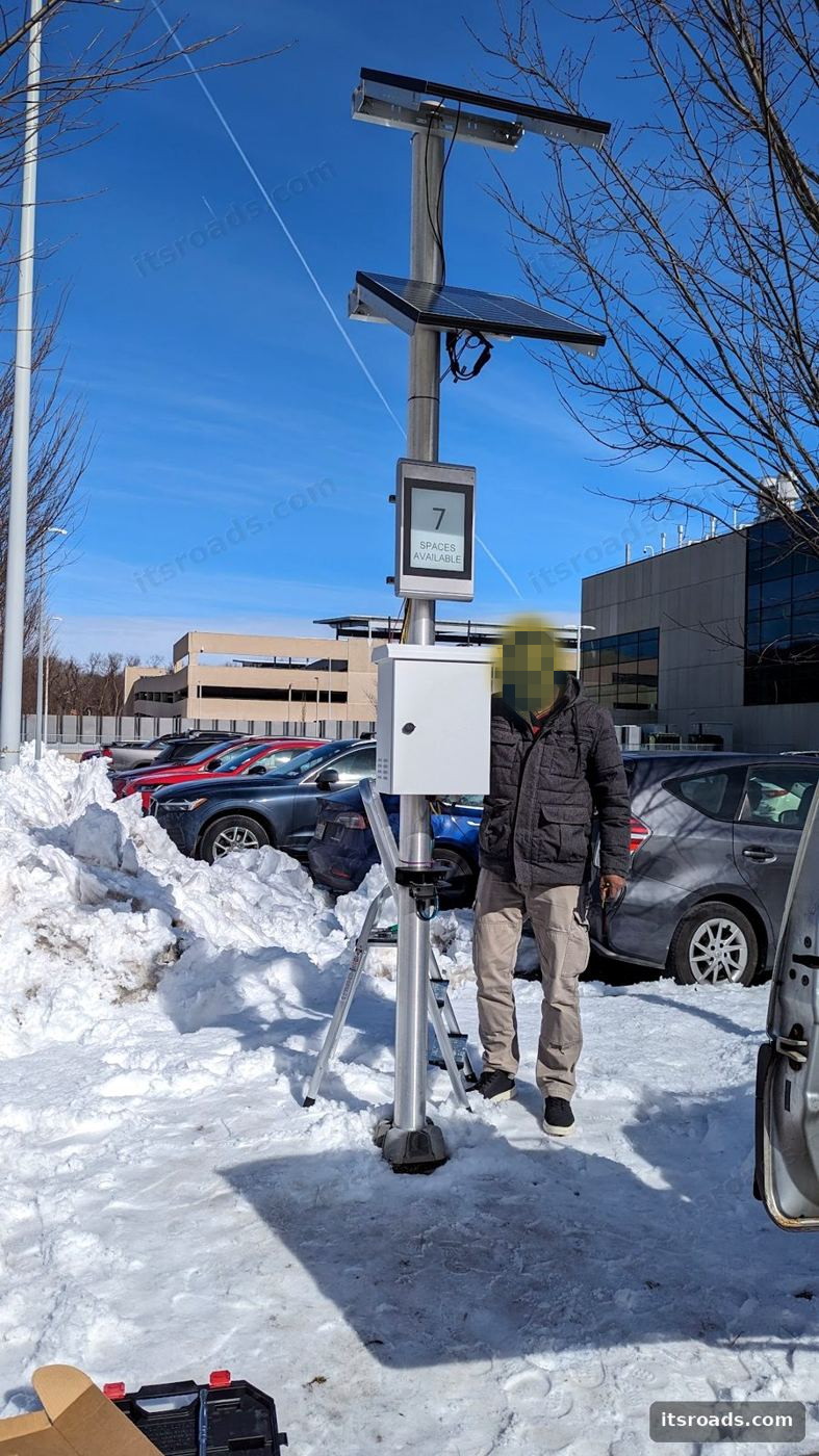
Solar-powered roadside sensor pole in winter

Road weather and environmental sensing

More than 2,400 state-owned environmental sensor stations feed maintenance decision support and traveler information[10]. We design, power and network RWIS and NTCIP 1204 sensors, including solar sites with no grid power.

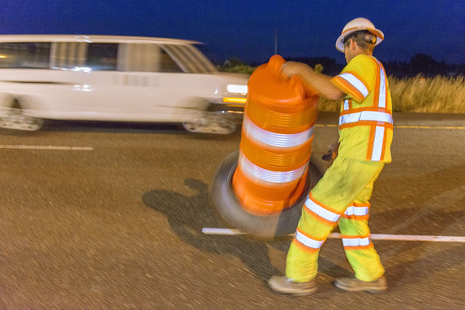
Highway worker placing work-zone barrels beside live traffic

Connected and smart work zones

Work Zone Data Exchange feeds, smart arrow boards, queue warning and roadside-unit broadcasts of work-zone messages to connected vehicles[9]. Our solar trailers carry the radios, cameras and sensors into the zone in days. See mobile roadside systems.

City skyline with a network of connected points

Digital twins and data platforms

Live, data-fed replicas of corridors and assets for operations, asset management and scenario testing, built on the device inventories, telemetry and performance data that monitoring already collects. We design the pipelines that keep the twin true.

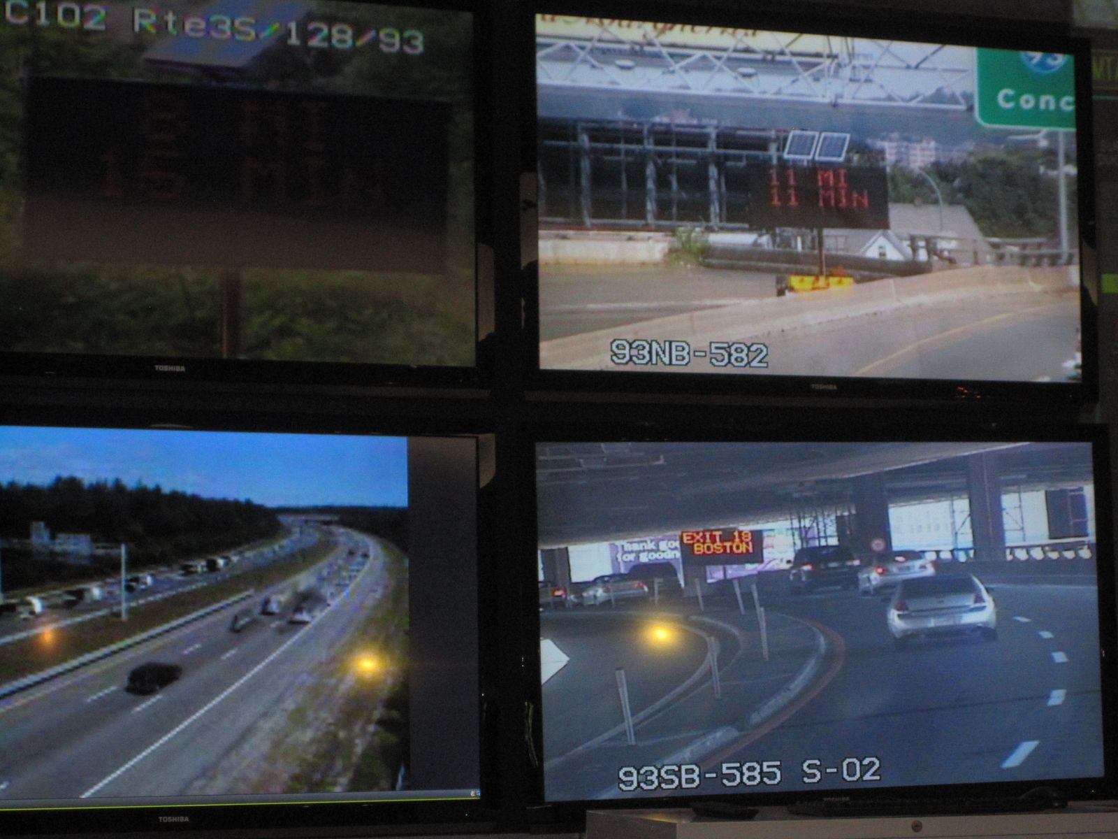
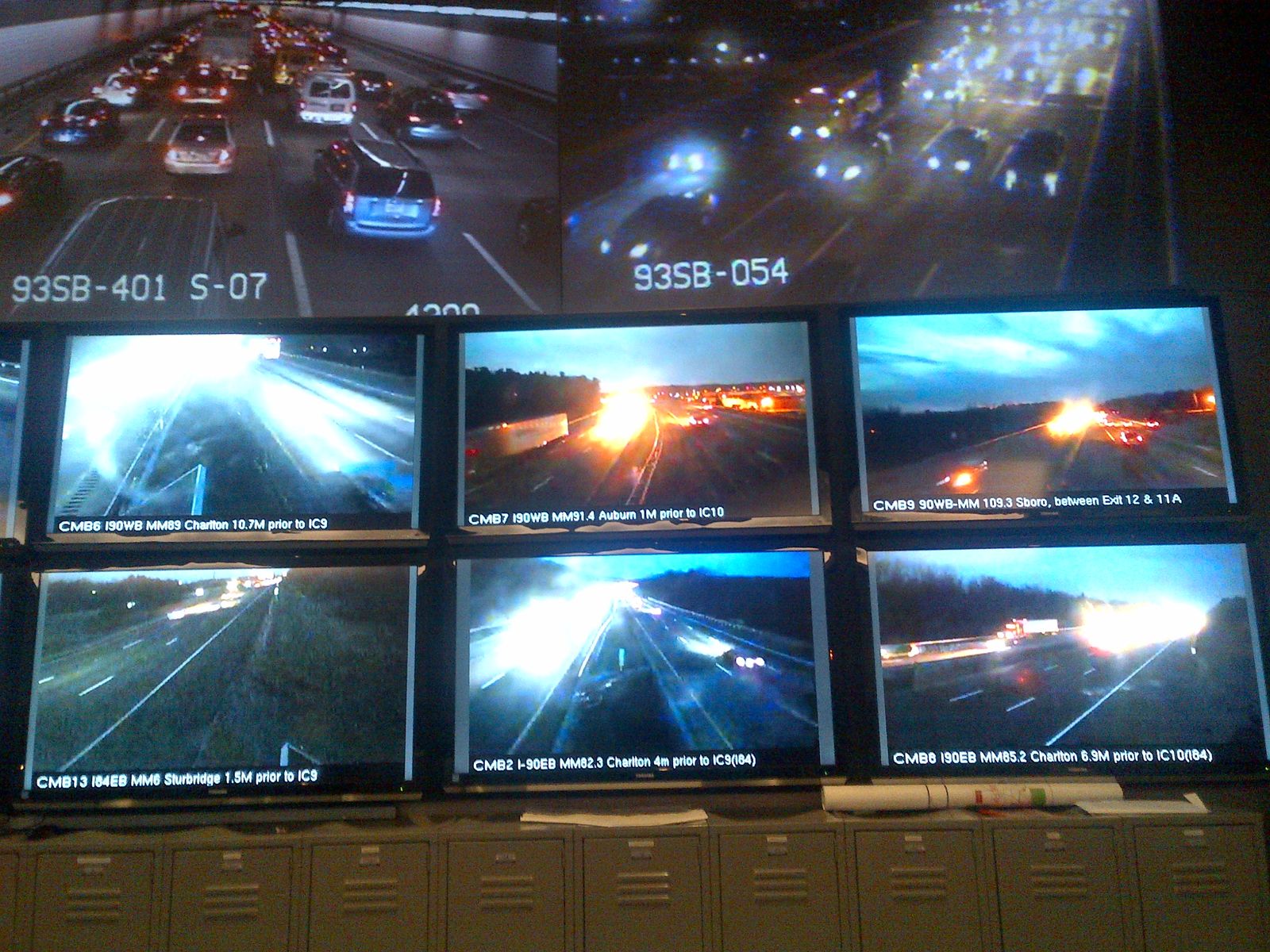
Highway operations center video wall with live camera feeds

Signal performance and AI in the TMC

High-resolution controller logs become automated traffic signal performance measures[11]; AI decision support is entering traffic management centers under FHWA guidance[12]. We integrate the data sources and keep them honest.

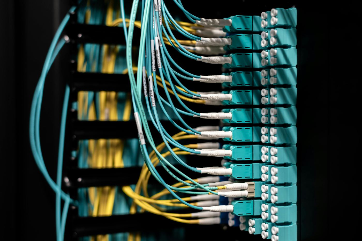
Fiber optic patch panel with colored cables

Private LTE, 5G, LoRaWAN and structural sensing

CBRS private networks for corridors and campuses[22], low-power LoRaWAN nodes for bridges and remote assets[21], structural health monitoring, smart lighting controls, and EV charging communications. See connectivity solutions.

Motion

Where the data comes from

Signalized intersections: where a quarter of fatalities happen and where sensing pays off first.Video: Ivan Chumak on Pexels
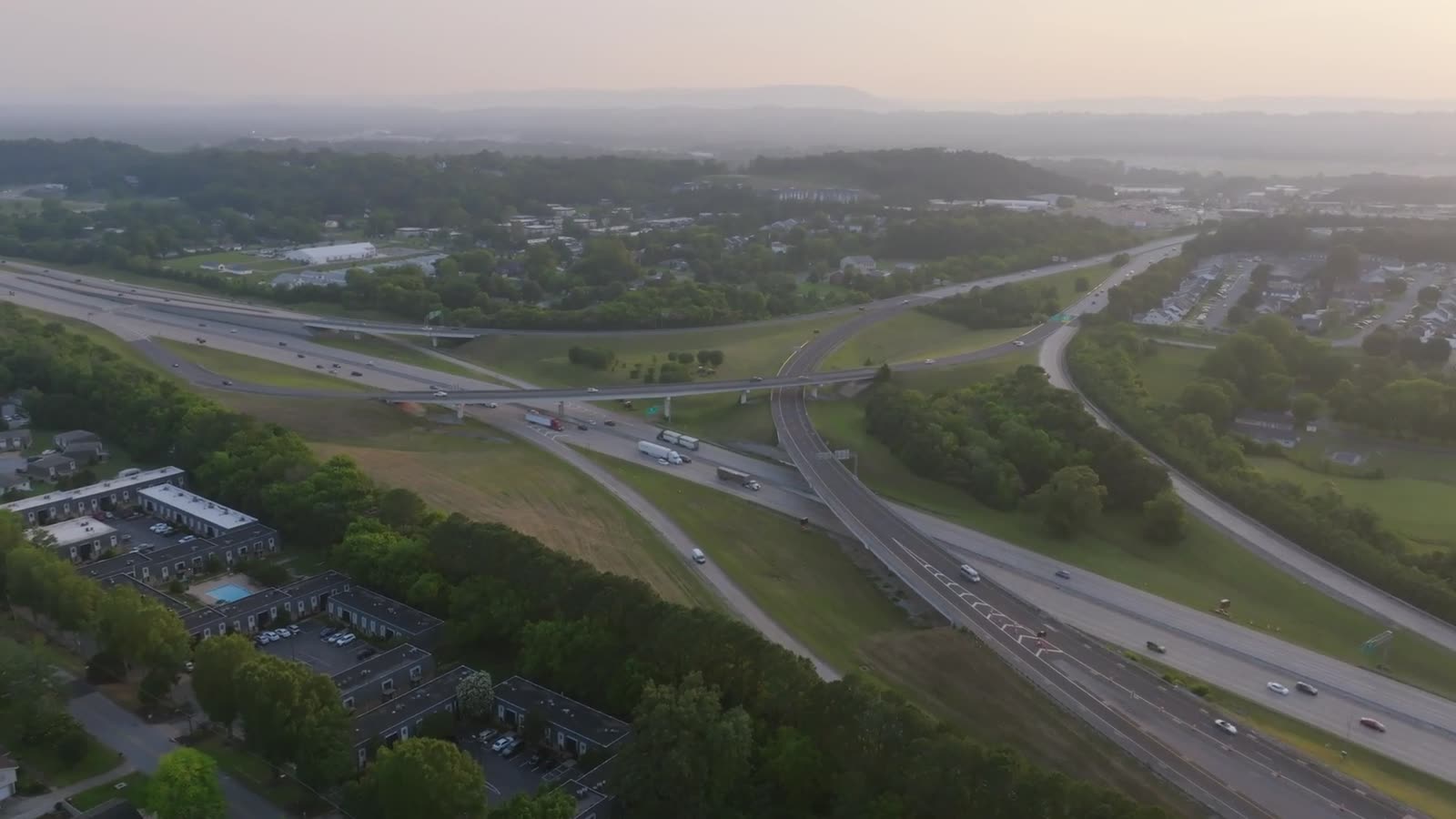
Freeway interchanges: ramp metering, incident detection and connected work zones.Video: K on Pexels
The traffic management center: where field data becomes decisions, increasingly with AI support.Video: Kiwi and Camera on Pexels
Programs and funding

Turning national priorities into buildable projects

The federal programs that fund smart infrastructure change year to year, and the winning applications are the ones with a credible concept of operations, an architecture and a realistic cost. We help agencies and their partners write those, then deliver the project.

  • USDOT national V2X deployment plan and the V2X Accelerator deployments in Arizona, Texas and Utah[18]
  • Intersection safety prototyping under the ITS Joint Program Office[6]
  • Safe Streets and Roads for All planning and implementation grants[16]
  • Advanced Transportation Technology and Innovation (ATTAIN) deployments[17]
  • SMART grants for technology demonstrations, as appropriated[15]
  • State and regional TSMO programs and the National Operations Center of Excellence resource library[23]

Program availability and funding levels change with each appropriation. We track the notices of funding opportunity and will tell you plainly what is open.

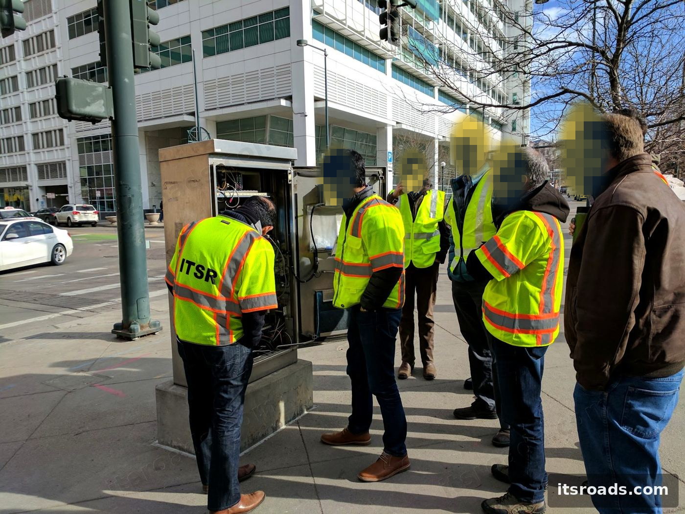
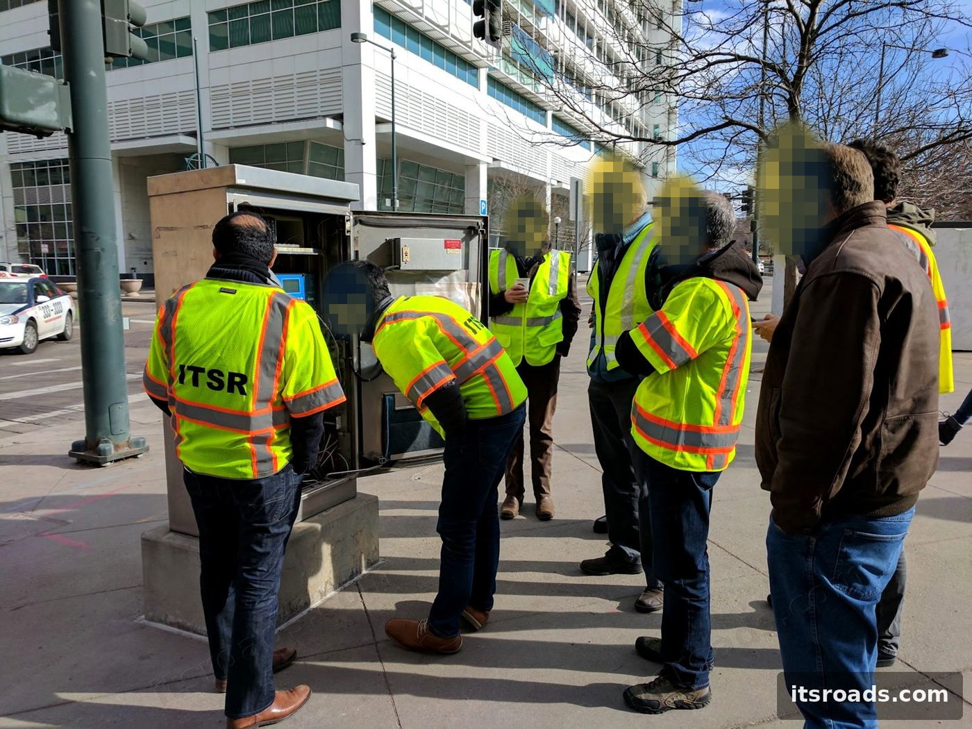
ITS Roads crew with city staff at a Denver intersection cabinet
Denver's downtown Living Lab: six intersections and a 25-vehicle onboard-unit fleet so staff could test new technology before large-scale deployment.
Smart infrastructure we have delivered

Proof on the ground

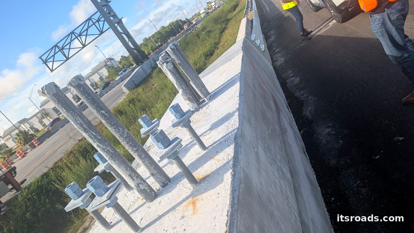
Median barrier with conduits awaiting a camera pole on I-4

Multi-state AI roadway sensing corridors

Standard camera cabinets, hubs and acceptance tests for an AI sensing platform on I-4, I-95 and I-40.

Project
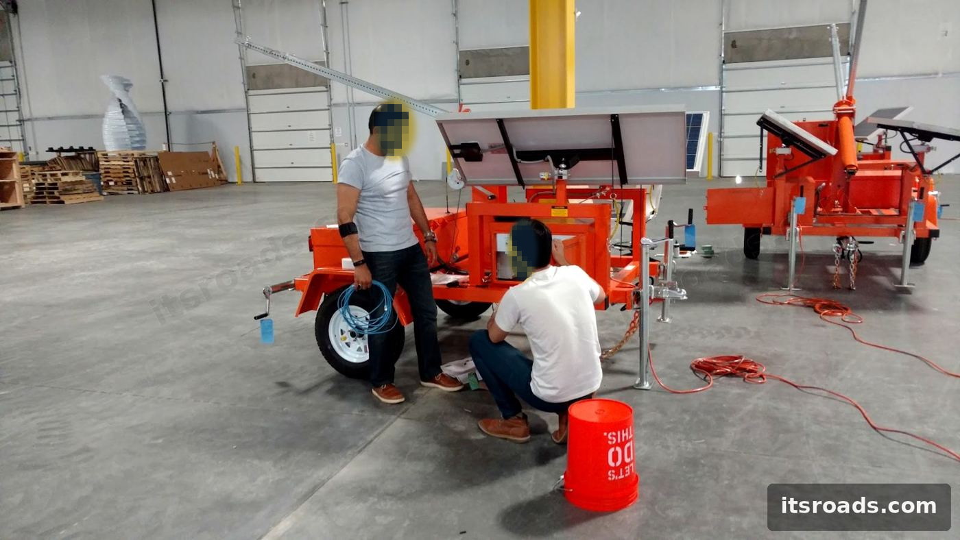
Solar-powered mobile RSU trailer under construction

Colorado's first connected-vehicle roadside deployment

Fiber ring, custom cabinets, mobile roadside units and monitoring for a smart-city proving ground.

Project
Crew at a downtown Denver intersection

Denver ITS network assessment and Living Lab

Twelve fiber hubs assessed, a modernization roadmap, and a six-intersection downtown test bed.

Project
Vision AI detection on a bridge toll approach

Camera-vision counting on a landmark bridge corridor

Sixteen monitored lanes and pathways, 24/7, on existing cameras, with no lane closures.

Project
Questions

Smart infrastructure FAQ

What do you mean by smart infrastructure?

Roadside and facility assets that sense, communicate and act: cameras and LiDAR at intersections, weather stations, connected signals and signs, roadside units talking to vehicles, cabinets that report their own health, and the networks and platforms that turn all of it into decisions. ITS Roads designs, integrates, deploys and monitors those systems for public agencies and the technology companies that build them.

We have a legacy signal and ITS network. Can emerging sensors be integrated with it?

Yes, and that is most of the work. New LiDAR, radar, edge-AI cameras and roadside units have to share power, communications, cabinets and central systems with equipment that may be fifteen years old. We follow the FHWA systems engineering process scaled to the project, map the design to the regional ITS architecture, and integrate with the NTCIP devices and central software the agency already owns.

Do you build the sensors or the software?

No. We are vendor-neutral integrators. We select, test, integrate and deploy products from the sensor, roadside unit, camera and platform vendors, build the roadside infrastructure around them, and put the whole system under monitoring. Our sister company ITSR AI provides camera-vision analytics where an owner needs a custom detection model.

Can you help us turn a USDOT priority into a fundable project?

Yes. We help agencies translate the national V2X deployment plan, intersection safety, work zone data, TSMO and smart-city programs into concepts of operations, architectures, cost estimates and technical narratives that fit formula and discretionary funding, and then deliver the project when it is awarded.

How do you address cybersecurity for field devices?

Security is designed in: SNMPv3 with authentication and privacy, segmented networks and DMZs for vendor access, credential management for field devices, NIST Cybersecurity Framework alignment per FHWA's transportation management center guidance, and monitoring that detects configuration drift and failed authentications.

What size of program do you take on?

From a single intersection pilot or a mobile trailer to multi-state corridor deployments with hundreds of poles. We prime small and mid-size projects and serve as the engineering and integration partner on large ones.

Sources and further reading
  1. FHWA, Signalized Intersections Informational Guide (FHWA-HRT-04-091): about 3 million intersections, roughly 300,000 signalized
  2. FHWA Intersection Safety: about one quarter of traffic fatalities and one half of injuries occur at intersections
  3. NHTSA: 39,345 traffic fatalities estimated for 2024, first year under 40,000 since 2020
  4. Texas A&M Transportation Institute, 2025 Urban Mobility Report: $269 billion congestion cost, 63 hours per commuter
  5. USDOT, Saving Lives with Connectivity: A Plan to Accelerate V2X Deployment (August 2024)
  6. USDOT ITS JPO, Intersection Safety program and Intersection Safety Challenge
  7. FHWA, Systems Engineering for ITS handbook and 23 CFR Part 940
  8. ARC-IT, the National ITS Reference Architecture
  9. FHWA, Work Zone Data Exchange (WZDx) and connected work zones
  10. FHWA Road Weather Management Program and environmental sensor station map
  11. FHWA, Automated Traffic Signal Performance Measures (ATSPM) guidance
  12. FHWA, Raising Awareness of Artificial Intelligence for Transportation Systems Management and Operations
  13. FHWA, Transportation Management Center cybersecurity guidance
  14. USDOT ITS JPO, Deployment Evaluation program and ITS benefits, costs and lessons-learned databases
  15. USDOT SMART grants program
  16. USDOT Safe Streets and Roads for All (SS4A)
  17. FHWA Advanced Transportation Technology and Innovation (ATTAIN) program
  18. USDOT V2X Accelerator deployments in Arizona, Texas and Utah
  19. NIST Global Community Technology Challenge (smart cities)
  20. Open Mobility Foundation, Curb Data Specification and Mobility Data Specification
  21. LoRa Alliance, LoRaWAN for low-power infrastructure sensing
  22. OnGo Alliance, CBRS shared spectrum for private LTE and 5G
  23. NOCoE, National Operations Center of Excellence (AASHTO, ITE, ITS America with FHWA)

Ready to scope it?

Send us the corridor, the site count and the problem. We will come back with an approach, not a brochure.

Request a consultation